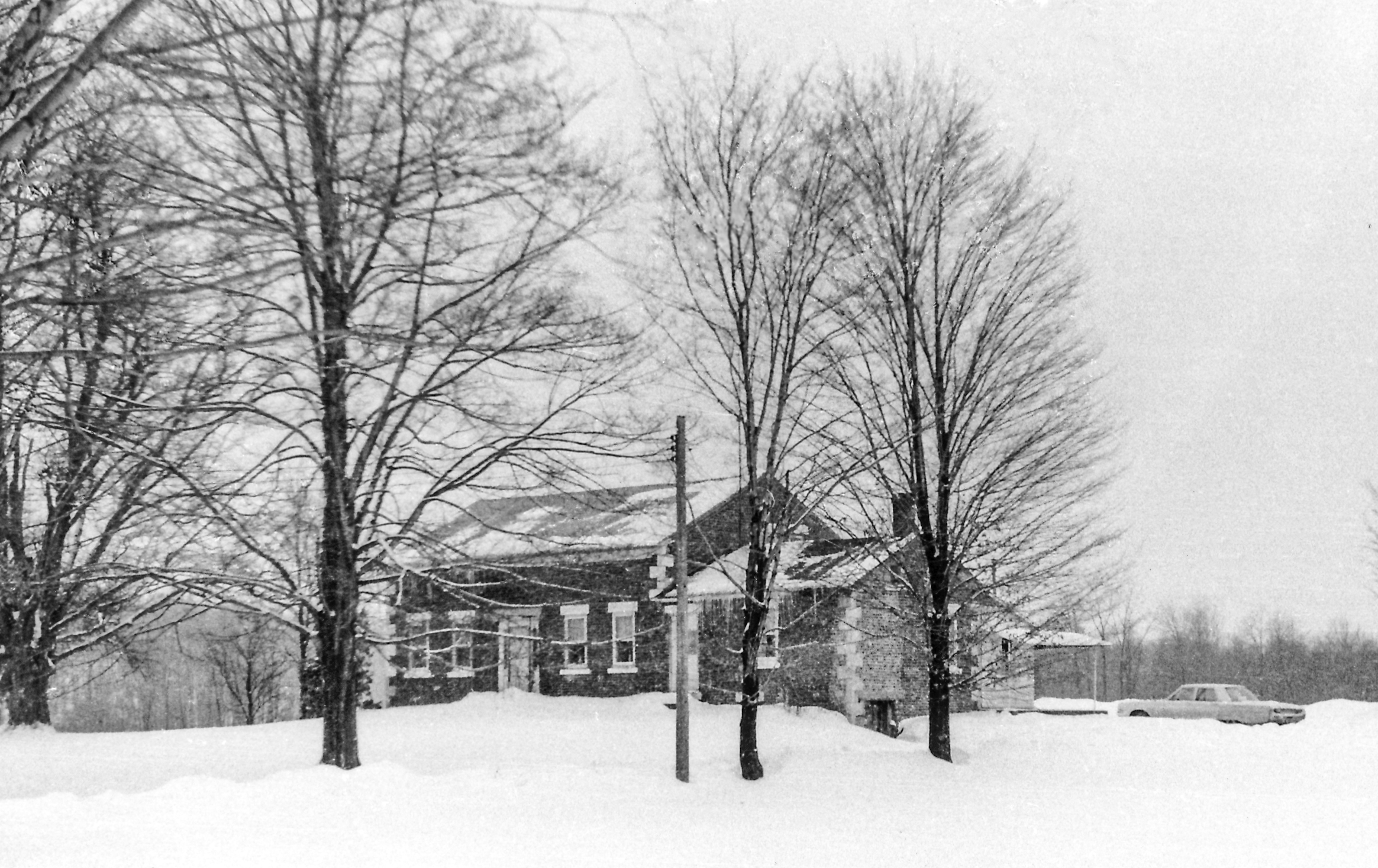
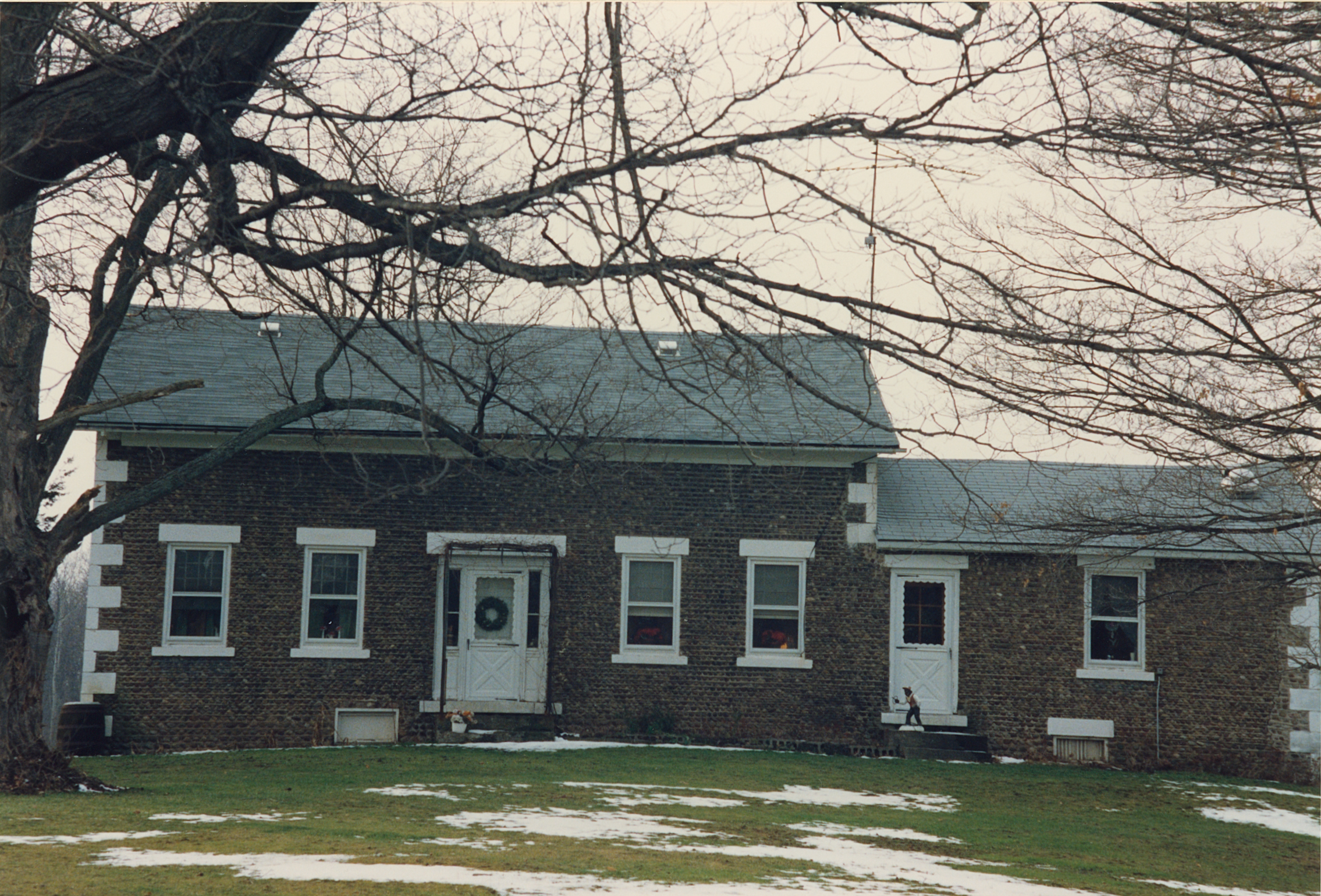
Building date: 1825
Original use:
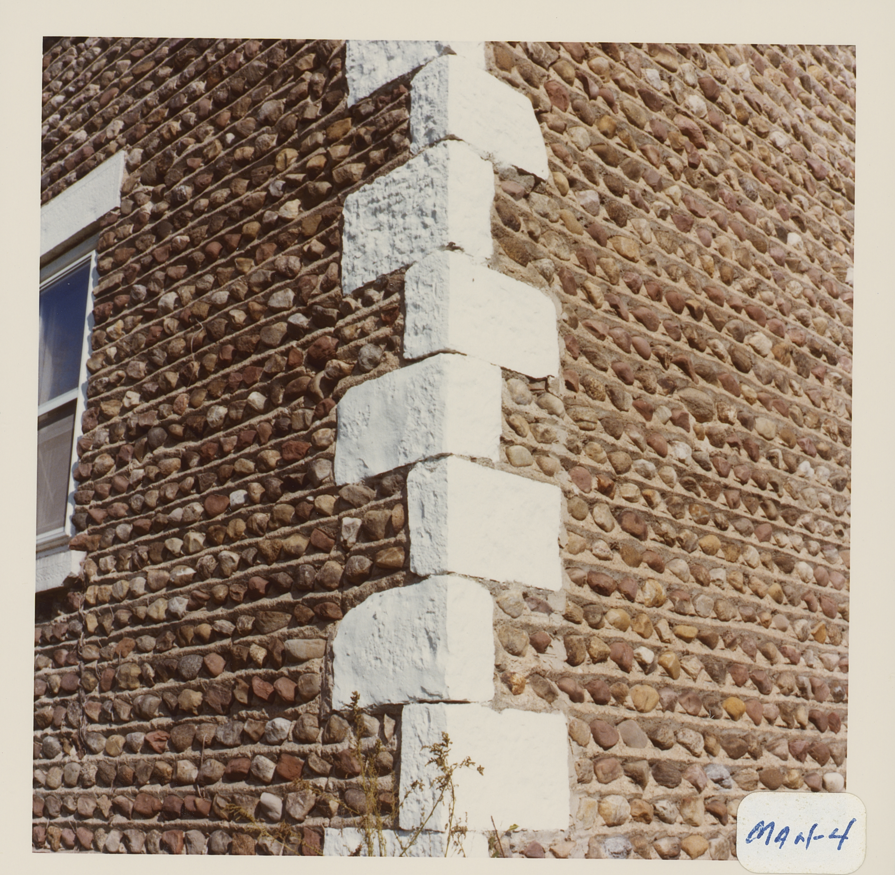
Corner structures:
Mortar application and content: Vertical heavy. Vertical pyramids.
Types and uses of stones: Small red. Irregular rough.
Types and choice of windows:
Structures with similar masonry details:
Masons who worked on building:
Unique features:
Map views courtesy Google Maps. Address is Google Earth confirmed; 42°59'43.20"N 77°11'26.99"W. Current owner of record, Kommer, Gerald & Michael/McCumber/Barbalace as of the 2019 Tax Roll. Deloris Kommer has life use.
Town of Manchester and Ontario County Maps
The Roudabush map location was incorrect, marking the location about ½ mile north of the correct location. The Info Base map has been corrected with the verified location.
- "Cobblestone Masonry", 1966, Carl Schmidt: Name reference, Short - Van Scott House
- Page 100
 Man-4 Kommer 1.jpg ¹ 1/12/1970 | 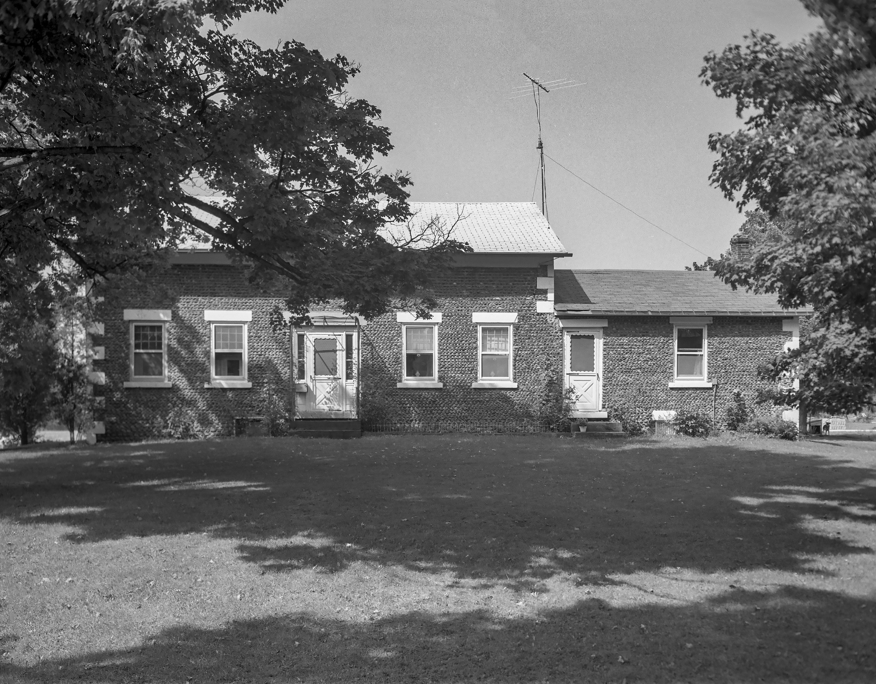 GP Ontario Manchester Man-4 1-1 P.jpg ² 8/24/1971 | 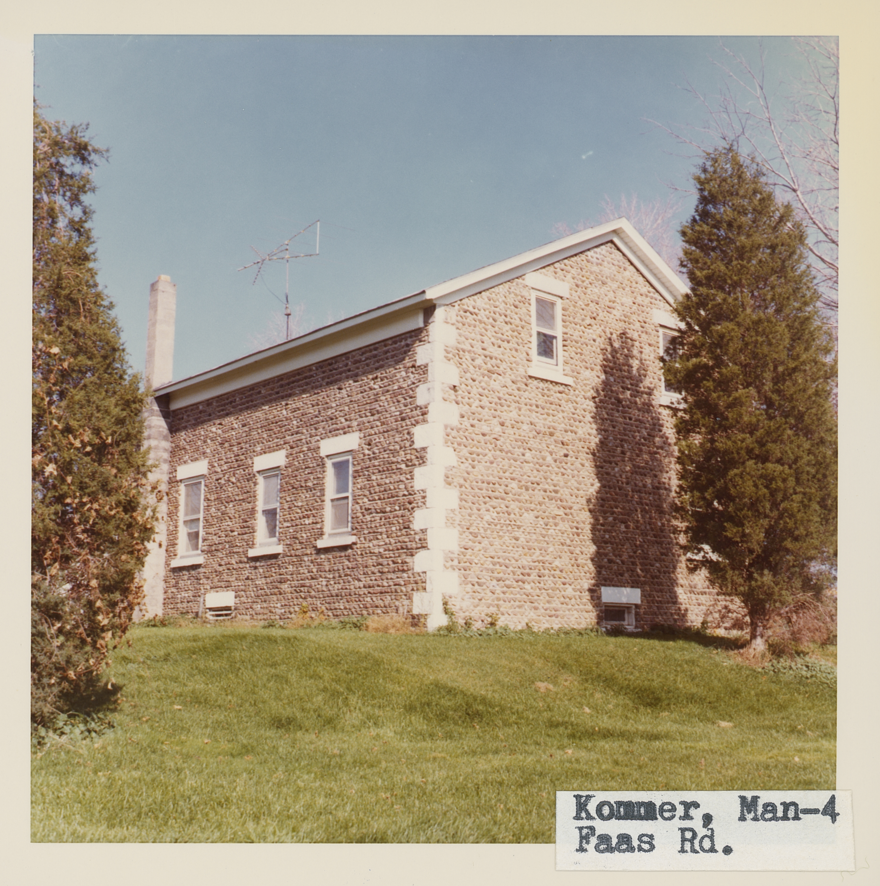 Man_4_1.jpg | 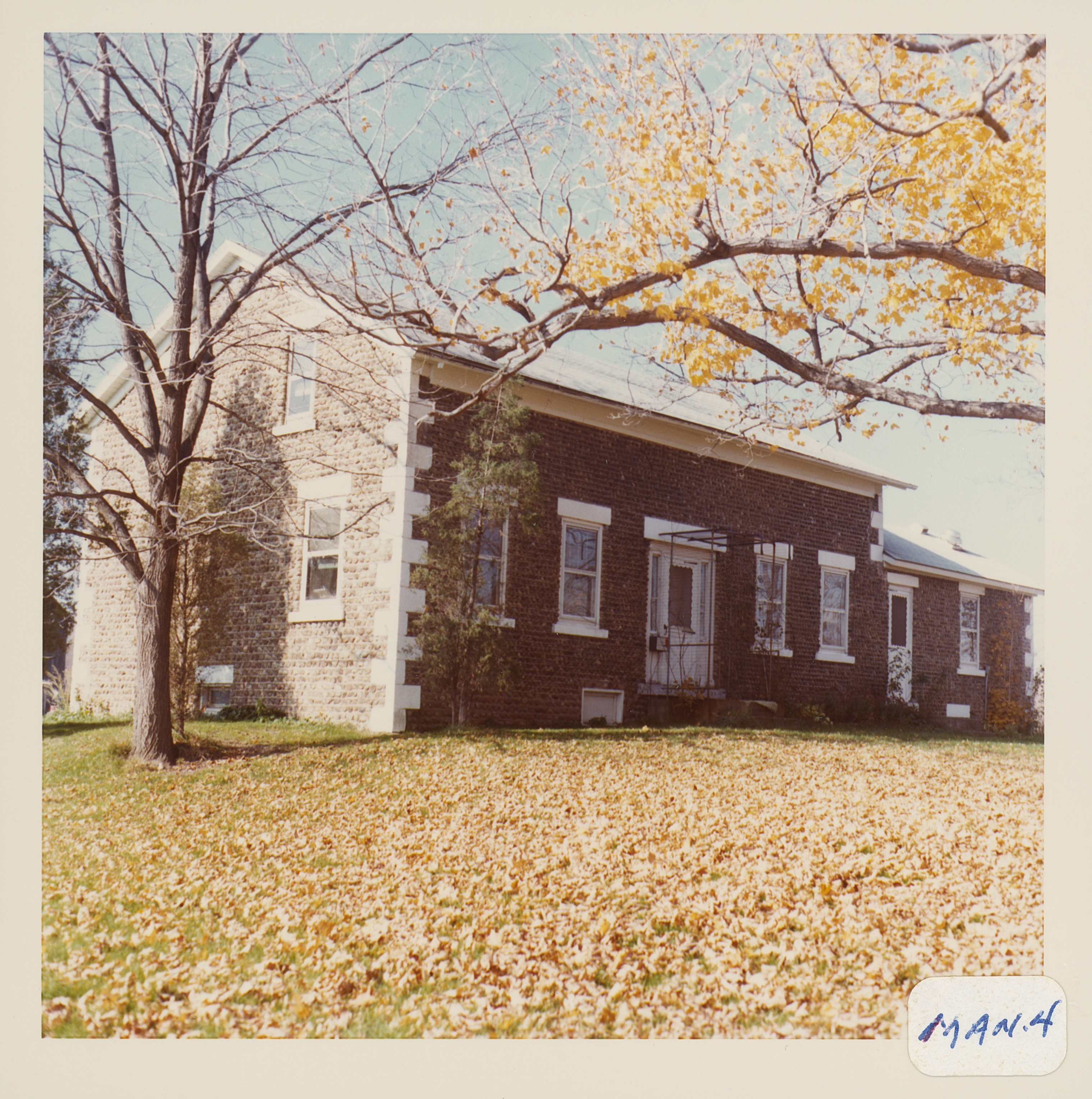 Man_4_2.jpg |
 Man_4_3.jpg | 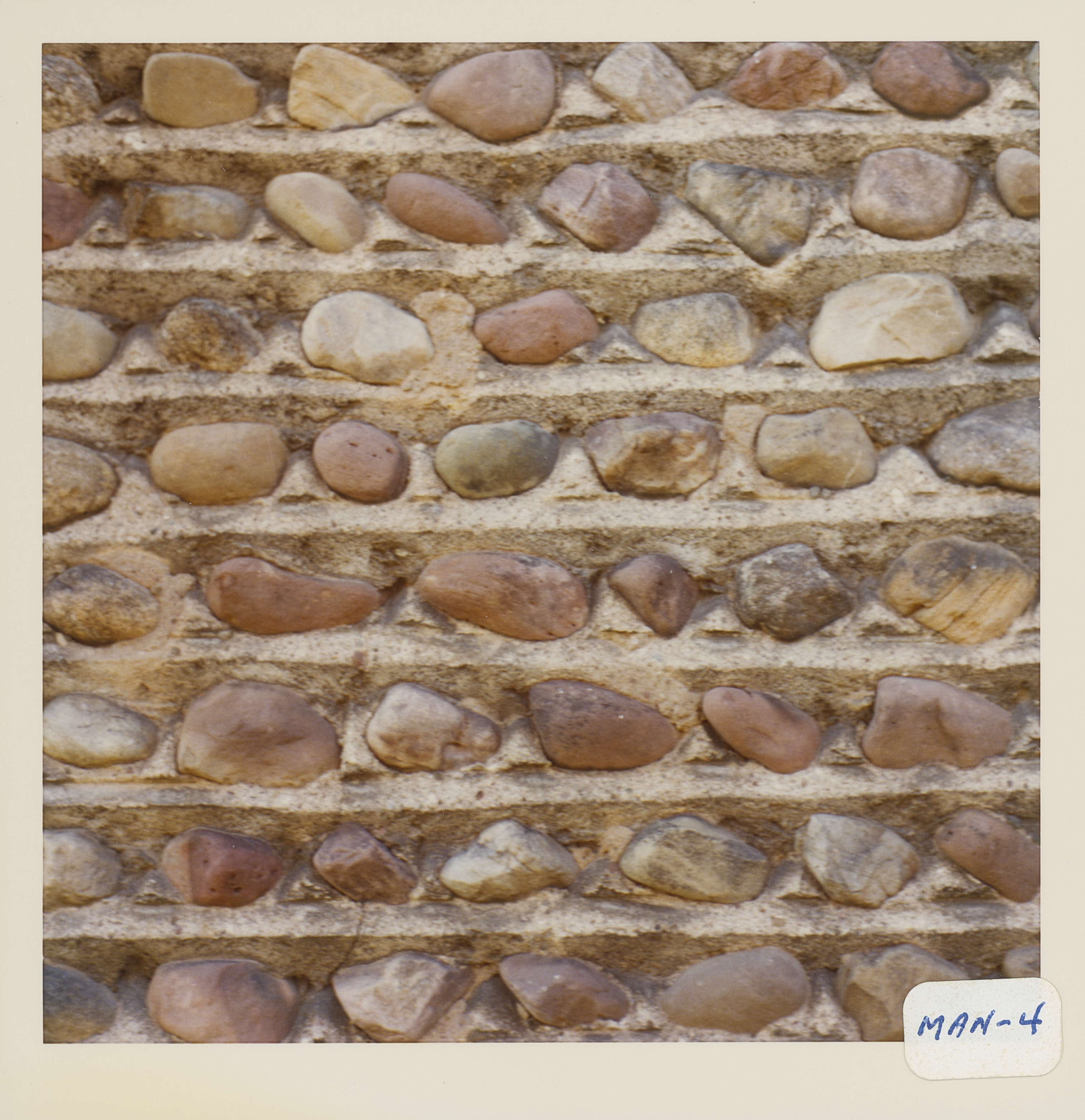 Man_4_4.jpg | 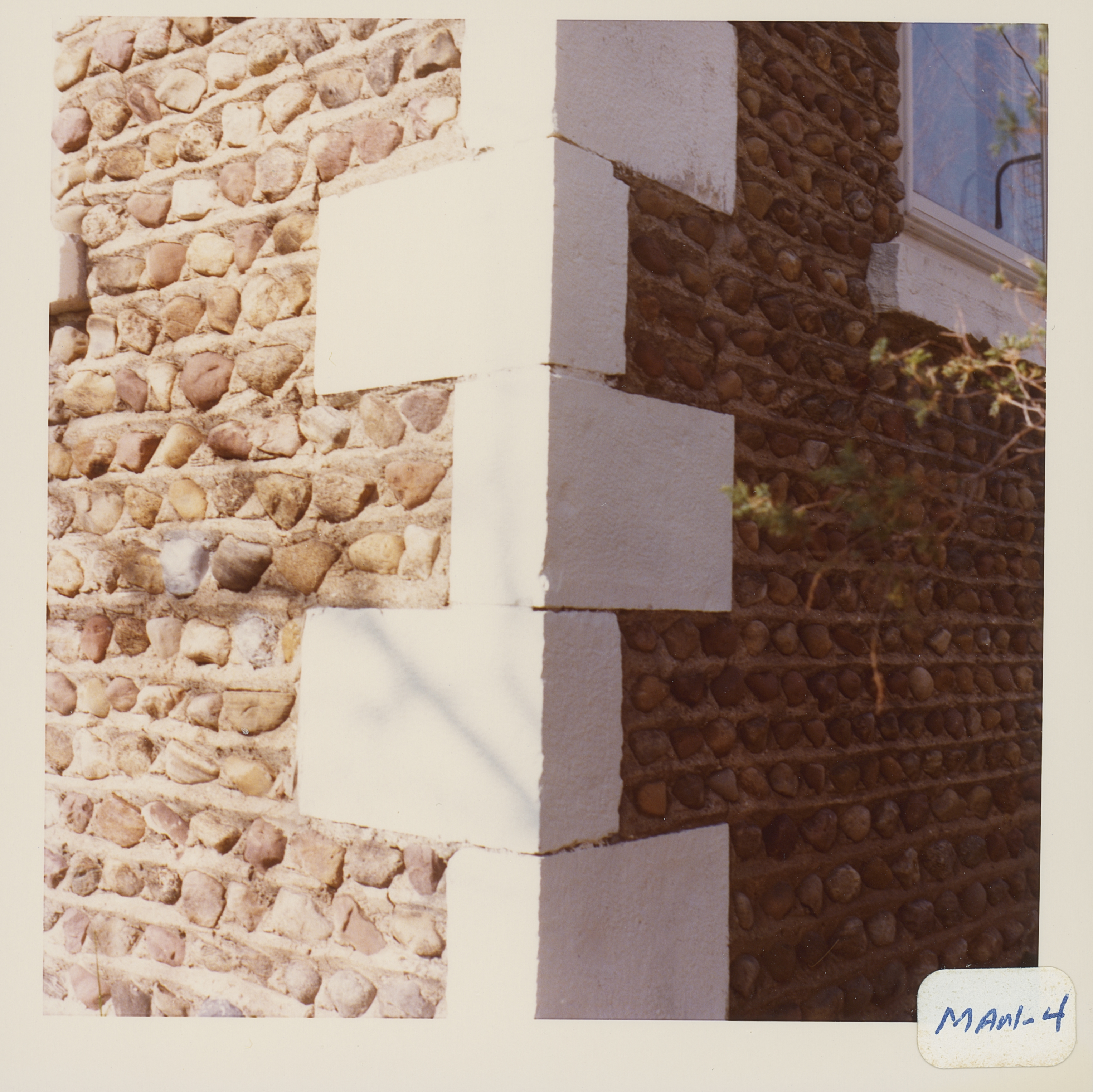 Man_4_5.jpg | 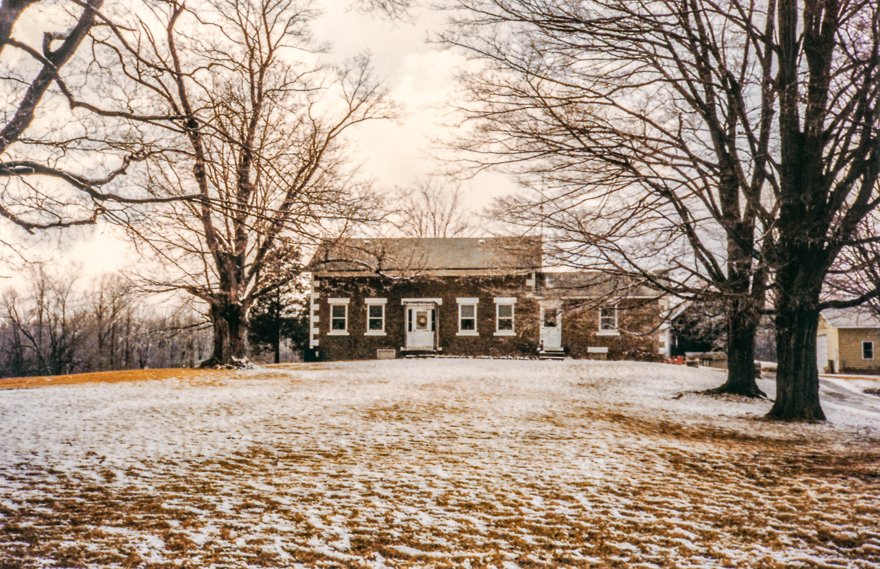 Man-4 Kommer 2.jpg ¹ |
 Man-4 844 Faas Rd 1.jpg ³ | 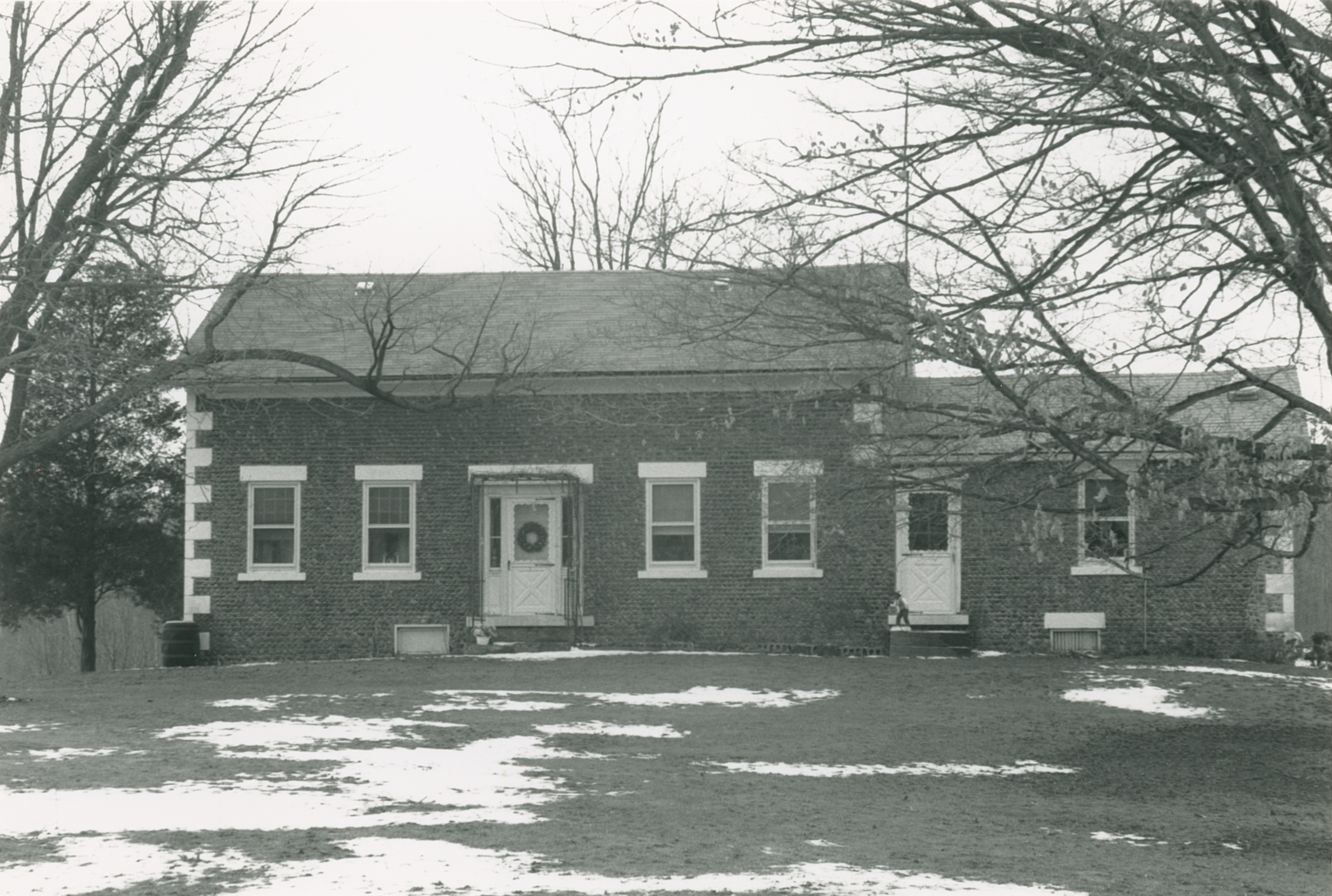 Man-4 844 Faas Rd 2.jpg ³ | 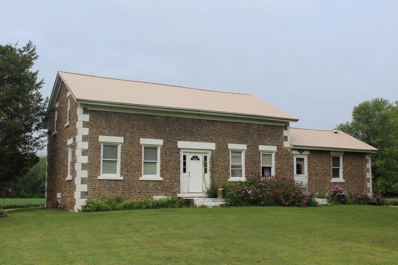 IMG_3840.jpg 4 AUG 2019 | 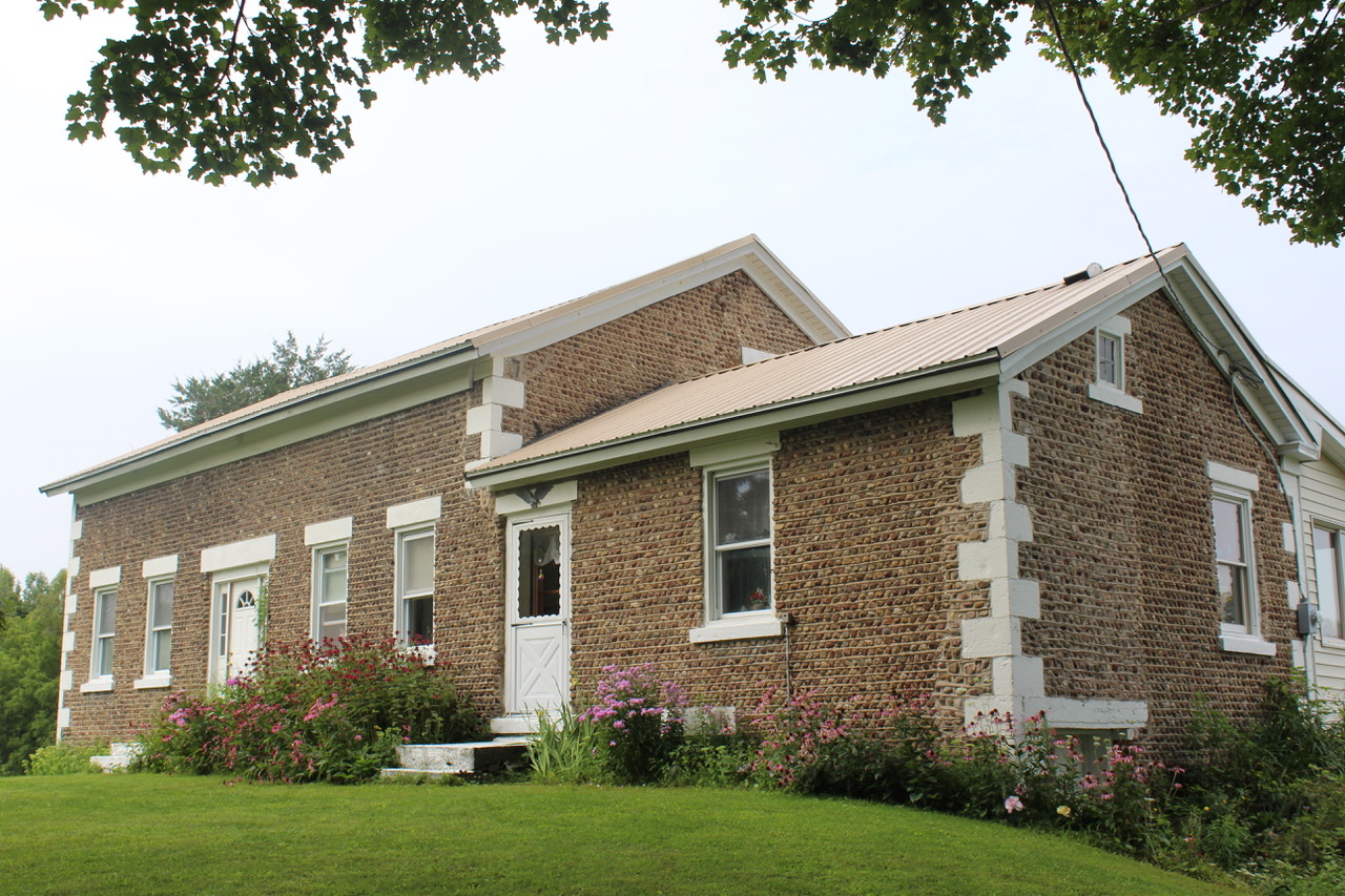 IMG_3841 2.jpg 4 AUG 2019 |
¹ Image courtesy Cobblestone Museum.
² Photography courtesy Gerda Peterich. Cobblestone Museum.
³ Photography courtesy Martin and Sheila Wolfish.
4 Photography courtesy Richard Palmer.
